Preparing a highway trip in France often involves juggling multiple tabs: one for traffic, another for toll rates, and a third to locate a decent rest area. Interactive mapping tools change this habit by consolidating this information into a single interface. However, one must know what they really display, and especially what they do not show.
Free-flow tolls: what the map doesn’t always specify
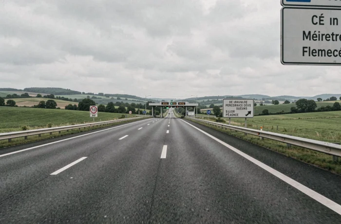
Have you ever passed through a gantry without a barrier, without a ticket, without any particular gesture? That’s the principle of free-flow tolling. Cameras and sensors read the license plate or the badge, and billing occurs afterward.
Several highways already operate with this system in France, notably the A13, A14, and A79. The trend is accelerating: other sections are gradually transitioning to this payment method.
On a map of French highways with tolls, the free-flow sections sometimes appear the same way as traditional barrier tolls. However, the distinction is crucial for motorists.
Without a badge, the payment deadline is 72 hours after passing. After this period, a reminder with a fee applies, followed by an increase, and then a heavier fine. This graduated penalty mechanism surprises many occasional drivers, especially foreign tourists.
Before departing, checking the map to see if your route crosses a free-flow section allows for anticipation: creating an online account, activating a badge, or simply noting the payment deadline.
Rest areas and service areas on the highway: two different realities
When looking for a stop on an interactive map, the pictograms look similar. Not all points offer the same level of comfort.
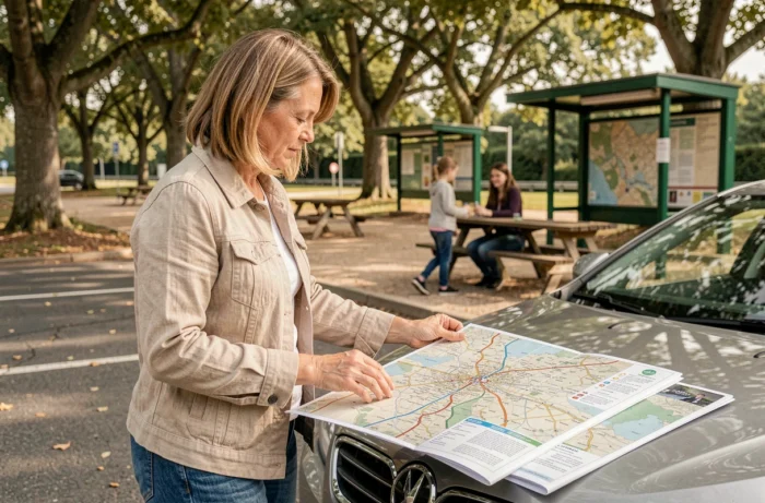
A rest area provides parking space, toilets, and often picnic tables. They can be found approximately every 15 kilometers on the concession network. A service area, on the other hand, adds a gas station, dining options, sometimes a shop, and charging stations.
What really matters for planning a break
- Electric charging stations: their reported availability rate exceeds 98.5% on the concession network. A dedicated filter on the map avoids unnecessary detours for electric vehicles.
- Children’s areas and nurseries: present at most service areas, but rarely indicated on generic maps. The concessionaires’ websites (VINCI Autoroutes, APRR) provide better details about these facilities.
- Wi-Fi connection and workspaces: some stops now offer quiet areas with outlets, a useful criterion for business trips.
Before trusting a single tool, cross-referencing the interactive map with the concessionaire’s website managing the section remains the most reliable reflex.
Toll rates in France: why they vary from one section to another
The French highway network is operated by several concession companies. Each sets its own pricing schedules, framed by contracts with the state. The result: the price per kilometer differs depending on the concessionaire and the vehicle class.
A similar-length trip will cost more or less depending on whether it uses the APRR, VINCI, or Sanef network. Interactive maps that include a rate simulator help with comparisons, but not all cover all concessionaires.
Toll-free highways: alternatives to spot on the map
Some highway sections remain toll-free, often on the outskirts of large urban areas or on routes directly funded by the state. Identifying these free sections on the map can help reduce the toll budget without excessively lengthening the trip.
Major national roads also offer a high level of service (two lanes in each direction, regular stopping areas) at no cost. They do not always appear on maps focused solely on the concession network.
Real-time traffic and routes: limitations of mapping tools
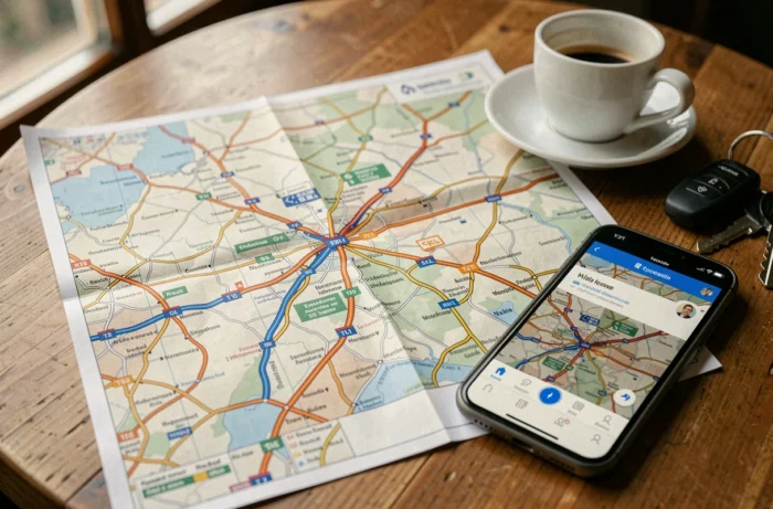
Most interactive maps display real-time traffic conditions, scheduled construction, and traffic forecasts. This data comes from sensors embedded in the roadway and GPS feedback.
Highway webcams complement traffic information visually. APRR, for example, provides a network of cameras that can be accessed directly from its online map. Useful for assessing the actual density before committing to a section.
However, the displayed travel times remain estimates. An incident occurring after the last update can skew the forecast. Combining the map with a real-time GPS navigation app yields a more reliable result than using a single tool in isolation.
Scams related to free-flow: a recent risk
The rollout of barrier-free tolls has led to attempts at fraud via SMS or email. Messages imitating concessionaires demand urgent payment for a supposed unpaid toll. No concessionaire requests payment via SMS with a clickable link. Payment is made exclusively through official websites or by mail.
Electric vehicles and highways: what the map must display in 2026
For electric vehicle drivers, the interactive map becomes a trip planning tool as well as a road guide. Locating fast charging stations at service areas, checking their compatibility and real-time availability transforms the experience.
VINCI Autoroutes actively communicates about equipping its areas with high-power chargers, with a network that densifies each year. Filtering the map by charger type avoids unpleasant surprises on long summer trips, a time when demand at charging stations significantly increases.
- Check the available power (fast or accelerated charging) before choosing an area.
- Consult real-time availability, as some chargers may be occupied or under maintenance.
- Plan a backup stop at the next area if the first is full, especially during holiday traffic peaks.
Maps that consolidate tolls, rest areas, and charging stations on a single interface meet a concrete need: to avoid multiplying applications while driving. The French highway network is evolving rapidly, with free-flow and electrification of areas. Keeping an eye on updates to these mapping tools remains the best way to avoid surprises on the road.